Home > Europe > United Kingdom > England > London > Boroughs > Havering
Havering RM1 2 Map

![]()
Wall Art and Photo Gifts from Map Marketing
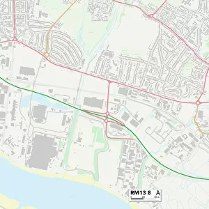
Havering RM1 2 Map
Postcode Sector Map of Havering RM1 2
Media ID 19979117
Abbey Close Albert Road Alexandra Road Boundary Road Brentwood Road Broadfield Close Carlisle Road Claremont Road George Street Havering King Edward Road Kings Grove Kings Road Kingsmead Avenue Lennox Close Manor Close Manor Road Marden Road Milton Road Moss Lane Princes Road Richmond Road Shaftesbury Road Shakespeare Road South Street The Maltings Victoria Road Wheatsheaf Road
FEATURES IN THESE COLLECTIONS
> Arts
> Artists
> P
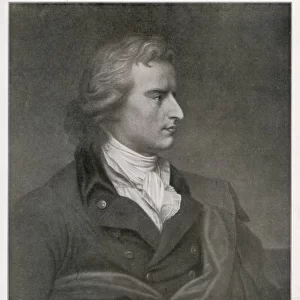
> George Prince
> Arts
> Artists
> Q
> Queen Victoria Queen Victoria
> Arts
> Artists
> R
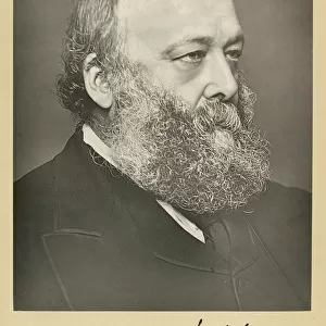
> George Richmond
> Europe
> United Kingdom
> England
> London
> Boroughs
> Havering
> Map Marketing
> Postcode Sector Maps
> RM - Romford
> Popular Themes
> Queen Victoria
MADE IN THE USA
Safe Shipping with 30 Day Money Back Guarantee
FREE PERSONALISATION*
We are proud to offer a range of customisation features including Personalised Captions, Color Filters and Picture Zoom Tools
SECURE PAYMENTS
We happily accept a wide range of payment options so you can pay for the things you need in the way that is most convenient for you
* Options may vary by product and licensing agreement. Zoomed Pictures can be adjusted in the Cart.