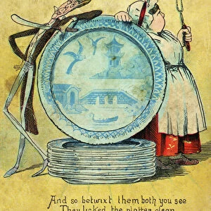
Home > Animals > Fishes > S > Sprat
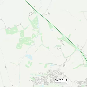
Swindon SN4 7 Map

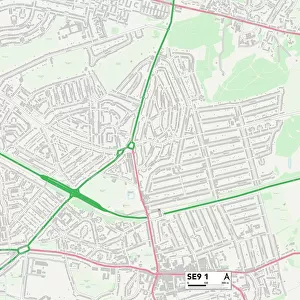
![]()
Wall Art and Photo Gifts from Map Marketing
Swindon SN4 7 Map
Postcode Sector Map of Swindon SN4 7
Media ID 19981548
Aspen Close Bath Road Beaufort Avenue Blackthorn Close Breach Lane Briars Close Broadacres Brooklands Chapel Lane Church Street Elm Park Fairfield Glebe Road Glenville Close Greenway Hart Close High Street Horns Lane Laburnum Drive Lake View Linden Close Lucerne Close Manor House Close Maple Drive Marlborough Road Mitchell Close New Road Orchard Lane Pipers Close Primrose Hill Pye Lane Richards Close Rowan Drive Saffron Close Sorrel Close Springfield Crescent Station Road Swindon Tanners Close The Drive The Lawns The Maltings Thornhill Vale View White Way Whitehill Lane Whitethorn Close Withy Close Wood Street Yew Tree Drive Lime Kiln Royal Mews
FEATURES IN THESE COLLECTIONS
> Animals
> Fishes
> S
> Sprat
> Europe
> United Kingdom
> England
> Wiltshire
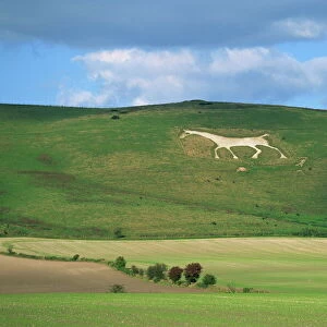
> Broad Town
> Europe
> United Kingdom
> England
> Wiltshire
> Lake
> Europe
> United Kingdom
> England
> Wiltshire
> Marlborough
> Europe
> United Kingdom
> England
> Wiltshire
> Related Images
> Europe
> United Kingdom
> England
> Wiltshire
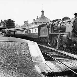
> Royal Wootton Bassett
> Europe
> United Kingdom
> England
> Wiltshire
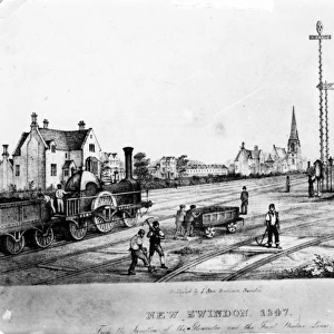
> Swindon
> Europe
> United Kingdom
> England
> Wiltshire
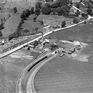
> Westbury
> Europe
> United Kingdom
> England
> Wiltshire
> Wick
> Europe
> United Kingdom
> England
> Wiltshire
> Wootton Bassett
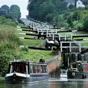
> Map Marketing
> Postcode Sector Maps
> SN - Swindon
MADE IN THE USA
Safe Shipping with 30 Day Money Back Guarantee
FREE PERSONALISATION*
We are proud to offer a range of customisation features including Personalised Captions, Color Filters and Picture Zoom Tools
SECURE PAYMENTS
We happily accept a wide range of payment options so you can pay for the things you need in the way that is most convenient for you
* Options may vary by product and licensing agreement. Zoomed Pictures can be adjusted in the Cart.