Home > Europe > United Kingdom > Wales > Powys > Knighton
Leicester LE17 6 Map

![]()
Wall Art and Photo Gifts from Map Marketing
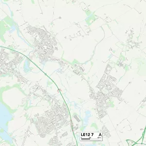
Leicester LE17 6 Map
Postcode Sector Map of Leicester LE17 6
Media ID 19974974
Back Lane Back Street Bell Lane Bosworth Road Bunkers Hill Butt Lane Chapel Fields Chapel Lane Chapel Street Cherry Tree Close Church Lane Church Street Dog Lane Elm Lane Fir Tree Lane Gibbet Lane Grange Gardens Green Lane Harborough Road Hawthorne Road Hermitage Close High Street Highcroft Holly Mews Honeypot Lane Hunters Close Knights Close Lammas Close Leicester Leicester Road Lutterworth Road Main Street Marsh Drive Mill Field Close Mill Hill Mill Lane North Road North Street Rectory Close Rugby Road School Lane Simons Close Stanford Road Station Road The Bank The Close The Green The Square The Sycamores Townsend Close Welford Road Wells Close Wheelwright Close Laughton Swinford
FEATURES IN THESE COLLECTIONS
> Europe
> United Kingdom
> Wales
> Powys
> Knighton
> Map Marketing
> Postcode Sector Maps
> LE - Leicester
> Maps and Charts
> Related Images
MADE IN THE USA
Safe Shipping with 30 Day Money Back Guarantee
FREE PERSONALISATION*
We are proud to offer a range of customisation features including Personalised Captions, Color Filters and Picture Zoom Tools
SECURE PAYMENTS
We happily accept a wide range of payment options so you can pay for the things you need in the way that is most convenient for you
* Options may vary by product and licensing agreement. Zoomed Pictures can be adjusted in the Cart.