Home > Europe > United Kingdom > England > London > Boroughs > Harrow
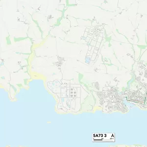
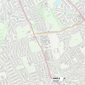
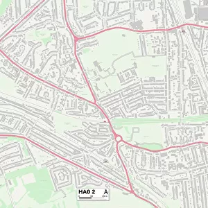
Harrow HA5 3 Map

![]()
Wall Art and Photo Gifts from Map Marketing
Harrow HA5 3 Map
Postcode Sector Map of Harrow HA5 3
Media ID 19970555
Abbey Close Amberley Close Ashley Close Athol Close Avenue Road Bridge Street Chapel Lane Church Lane Crossway Dale Close Elm Park Road Fairlawns Gilbert Road Granville Place Greenway Harrow Haywood Close Hazelwood Drive High View Hillside Road Howards Close Jubilee Close Latimer Close Leighton Avenue Lily Close Love Lane Lyndhurst Avenue Lyndhurst Gardens Moss Close Moss Lane Murray Crescent Norman Crescent North Way Oakwood Road Park View Road Poplar Close Potter Street Rickmansworth Road Ringwood Close South View Road Starling Close The Dell The Knoll Tudor Road Uxbridge Road Valley Close West End Lane West Way Woodhall Avenue
FEATURES IN THESE COLLECTIONS
> Animals
> Birds
> Cuckoos
> Little Cuckoo
> Animals
> Birds
> Cuckoos
> Related Images
> Animals
> Birds
> Passerines
> Starlings
> Related Images
> Europe
> United Kingdom
> England
> London
> Boroughs
> Harrow
> Map Marketing
> Postcode Sector Maps
> HA - Harrow
> Maps and Charts
> Related Images
MADE IN THE USA
Safe Shipping with 30 Day Money Back Guarantee
FREE PERSONALISATION*
We are proud to offer a range of customisation features including Personalised Captions, Color Filters and Picture Zoom Tools
SECURE PAYMENTS
We happily accept a wide range of payment options so you can pay for the things you need in the way that is most convenient for you
* Options may vary by product and licensing agreement. Zoomed Pictures can be adjusted in the Cart.