Home > Arts > Contemporary art > Digital artwork > Street art
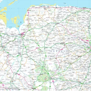
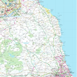
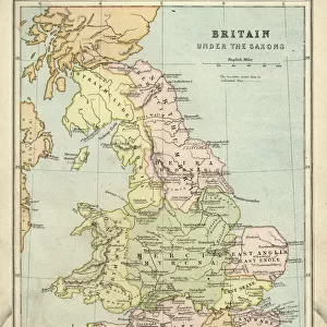
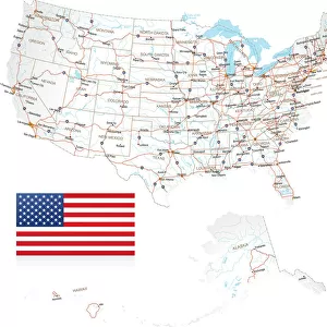
Yorkshire County Road Map

![]()
Wall Art and Photo Gifts from Map Marketing
Yorkshire County Road Map
A detailed map of the glorious county of Yorkshire in England covering the entire of the Three Ridings. Derived from high quality Collins Bartholomew map data showing larger villages, towns and cities along with a detailed road network combined with rivers, lakes and county boundaries. Also includes city centre street plans for York, Leeds and Sheffield and marks the National Parks boundaries
Media ID 19951170
© Map Marketing Ltd 2020, Map derived from Collins Bartholomew Digital Data Collins Bartholomew Ltd 2019
Bradford Leeds North Yorkshire Road Map Sheffield York Dales East Riding Moors South Yorkshire West Yorkshire
FEATURES IN THESE COLLECTIONS
> Arts
> Contemporary art
> Digital artwork
> Street art
> Arts
> Photorealistic artworks
> Detailed art pieces
> Masterful detailing in art
> Europe
> United Kingdom
> England
> Bradford
> Europe
> United Kingdom
> England
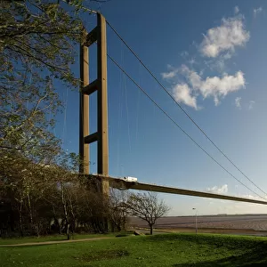
> East Riding of Yorkshire
> Related Images
> Europe
> United Kingdom
> England
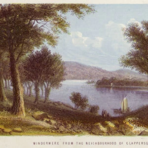
> Lakes
> Europe
> United Kingdom
> England
> Leeds
> Europe
> United Kingdom
> England
> Maps
> Europe
> United Kingdom
> England
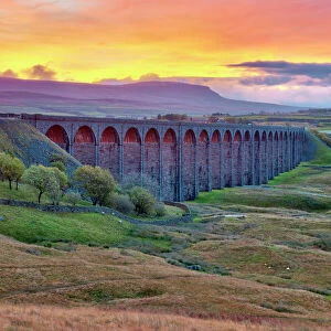
> North Yorkshire
> Related Images
> Europe
> United Kingdom
> England
> North Yorkshire
> York
> Europe
> United Kingdom
> England
> Rivers
MADE IN THE USA
Safe Shipping with 30 Day Money Back Guarantee
FREE PERSONALISATION*
We are proud to offer a range of customisation features including Personalised Captions, Color Filters and Picture Zoom Tools
SECURE PAYMENTS
We happily accept a wide range of payment options so you can pay for the things you need in the way that is most convenient for you
* Options may vary by product and licensing agreement. Zoomed Pictures can be adjusted in the Cart.